Digital Geoportal Will Make Life Easier for Engineers and Topographers
Now there is no need to waste time collecting information and field trips.
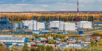
Orenburgneft (a subsidiary of Rosneft) has implemented software for the design, construction and maintenance of oil and gas facilities. The centralized geographic information system simplifies the creation of topographic plans and graphic applications for technical specifications for engineering surveys.
The program helps specialists four times reduce labor costs and time for collecting and analyzing data, 56orb.ru reports. And determining the design location of the wellhead now takes only a week instead of a month. Also, the number of requests for the preparation of cartographic materials was reduced by 99%.
The innovative software was developed by the specialists of the TomskNIPIneft Institute together with the SIBINTEK company on the domestic corporate platform. This guarantees its stable and efficient operation. The employees of Orenburgneft were among the first to implement the solution. They increased the number of users who can simultaneously enter information online from 5 to 45 people.
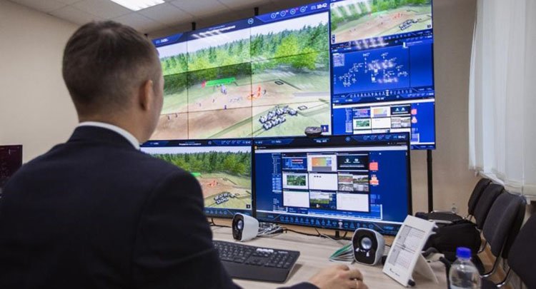
The system included five modules, including modules of the land information system, accounting for reclamation facilities, and land use. Access to them is implemented through the module of 3D visualization of field objects.
More than 200 employees use this system at Orenburgneft. The enterprise expands the functionality of the internal information portal. This will provide access to the geographical data of the enterprise for each of the 4,300 employees. A mobile version of the software for field conditions is also being tested.