Rosneft Has Released a New Version of Software for Geological Modeling

The Company’s specialists have developed the second version of the software package for geological modeling “RN-GEOSIM 2.0”. New functionality has been introduced into the software, the main one of which is the construction of tectonically complex models of deposits with faults.
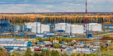
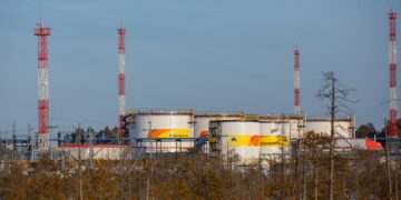
According to the Ufa Scientific Institute of Rosneft, tectonic disturbances are observed at approximately every third field of the Company. Taking into account the position of faults in the modeling will make it possible to more accurately determine the location and trajectory of drilling, as well as deposit reserves.
Rosneft is the first company in Russia to successfully create high-tech software that covers all key oil and gas production processes. The Company’s IT solutions are used for production tasks in the field of geology, design, development and operation of fields. They are superior to imported analogues in speed, list of tasks to be solved, use of modern algorithms and clear interface.
The ability to build models of deposits with a complex network of faults appeared in RN-GEOSIM 2.0 through the introduction of new mathematical algorithms for three-dimensional paleontological reconstruction*.
The new version of the software has added assistant tools (construction of contact maps, selection of a lithology cube for an effective thickness map, stitching of GIS curves, etc.) that simplify the construction of a geological model. Another innovation is built-in templates, on the basis of which the user can build a model, taking into account the accumulated experience from previous projects, and also share templates with colleagues.
In addition to new 3D modeling capabilities, RN-GEOSIM 2.0 has added a reserve calculation function for 2D models. This will allow for a rapid assessment of reserves at the stage of making a decision on the need to develop a license area. This feature will reduce the time for assessment by 5 times compared to building a full-scale 3D model. For example, building a full-fledged three-dimensional geological model of one layer of the Tarasovskoye field takes 15 working days, and a 2D model – 3 days.
Currently, 35% of the Company’s new models are being built at RN-GEOSIM; in 2024, this figure will reach 75%.
The software is used in their work by more than 400 specialists from Russian enterprises. 130 licenses sold. In 2022, more than 50 models of the Company’s fields were built in the RN-GEOSIM software package. More detailed information about the software is available on the website https://rn.digital/rngeosim/.