Skolkovo Software Package Helped Geosteerers With Drilling Support

Modeling experience was gained at new fields with new geological conditions.
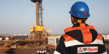
The geological support group of TNG-Geonavigatsia LLC (a subsidiary of the geophysical TNG-Group) has mastered a new software package for geomodeling and well drilling support. This is stated in the newspaper “Geophysicist of Tataria” (author – Dmitry SYROKVASHIN, chief geologist of “TNG-Geonavigation”).
The well tracking process includes not only building models with synthetic logging curves, but also compiling a report on the progress of geosteering, generating recommendations for drilling, optimizing and correcting the well trajectory, generating a final report and a geosteering model upon completion of drilling.
Geological models of wells, their so-called 3D twins, are built long before the start of drilling using a variety of known and calculated parameters.
With the start of drilling, the geological model is continuously adjusted taking into account the received data. Geological support of drilling is being carried out in order to increase penetration in the most productive part of the reservoir.
The decision on the well trajectory based on the results of a comparison of synthetic and actual logs is made jointly with the customer.
“In the inter-well space, the actual geometry of the reservoir top almost always differs from the design one, even with a detailed three-dimensional geological model,” explains Vitaly PYATOV, a geologist at TNG-Geonavigation. — The main task is to first determine the position of the roof of the design horizon during drilling along the drilled reference layers, and then to drill the wellbore along this horizon, in the most productive part of the section.
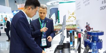
Specialized software systems help with this. An interesting project in this regard for TNG-Geonavigation last year was the joint work with one of the Skolkovo resident companies involved in the development and implementation of engineering and IT products to improve the efficiency of drilling and field development.
In cooperation with her, geological support and geomodeling were carried out during the drilling of seven horizontal wells located at three different fields in the Khanty-Mansiysk Autonomous Okrug.
During the implementation of the project, experience was gained in geological support and modeling at new fields with new geological conditions for the occurrence of productive formations. Also, the software package made it possible to expand competencies in building well models.
For the first quarter of 2023, the geological support team built models for 12 wells.
In August 2022, Devon news agency reported that TNG-Group for the first time used a domestic logging system when drilling horizontal wells. Specialists of TNG-Geonavigation successfully completed pilot work using high-tech equipment in the process of well construction. An imported rotary steerable system was used in tandem with an expanded Russian-made LWD complex.