Tatneft Geodetic System Has Become Self-Learning

Modernization will make it possible to record the weakest local vibrations of the subsoil at the noise level, and also to more efficiently develop the Romashkinskoye field.
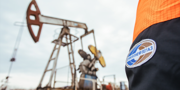
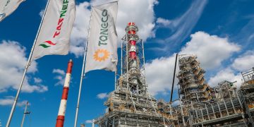
Tatneft has modernized a special-purpose geodetic network with the help of scientists from Kazan Federal University. It uses artificial intelligence and machine learning technologies. This made it possible to create an automated system for collecting and processing complex data. The Devon News Agency learned about this from a message from KFU.
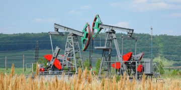
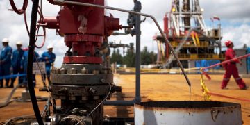
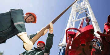
University staff carried out geological and geophysical studies and also created software. It allows you to identify the weakest local vibrations of the subsoil at the noise level. In particular, Tatneft is actively using this development to increase oil recovery.
“This system was created many years ago at Tatneft,” said Danis NURGALIEV, vice-rector for oil and gas technologies, environmental management and geosciences, director of the Institute of Geology and Oil and Gas Technologies (IGiNGT). “But the institute’s scientists did a great job and breathed new life into it.” This technology can be called one of the best in the world, he believes.
This work was awarded the State Prize of Tatarstan in the field of science and technology. It will be awarded in February 2024.
“The work is devoted to geodynamic monitoring in the southeast of Tatarstan to ensure industrial safety within the boundaries of oil-producing regions,” explains Eduard Ziganshin, senior researcher at the laboratory of in-situ combustion at IGiNGT. “With the participation of KFU employees, unique results were obtained on the geodynamic situation of the territory of intensive oil and gas field development.”
At this geodynamic site, a hierarchically organized and synchronized network of repeated leveling satellite (GNSS) and continuous observations was built. Information is collected in the Data Processing Center. The data covers all developed fields.
“This system is the most advanced not only in Russia, but also in the world,” noted the KFU scientist. “The results of the system are used not only to assess the geodynamic situation in the region, but also to increase the efficiency of development of the Romashkinskoye field.”
The state prize winners were:
- senior researcher at the Laboratory of In-situ Combustion at IGiNGT Eduard Ziganshin;
- junior researcher at the Laboratory of Carbon Dioxide Utilization in Underground Reservoirs, IGiNGT Airat YARULLIN;
- chief surveyor – head of the department of topographic-geodetic, property, surveying works of the joint venture “Tatneft-Dobycha” Rustam SAKHAUTDINOV;
- Deputy Head of the same department Damir GILAEV;
- Deputy Director for Applied Geodynamics and Monitoring of Critical Objects, Institute of Physics of the Earth named after. O.Yu. Schmidt RAS Yuri KUZMIN;
- Aziz BARATOV, leading geologist of the geological department of the Tatar Geological Exploration Department (TGRU) of PJSC TATNEFT;
- former leading engineer of the surveying and land management center “Tatneft-Dobychi” Malik RAKHMATULLIN;
- Head of the Tatar Geological Exploration Department of PJSC TATNEFT Ramil GATIYATULLIN.
Information from Devon News Agency:
Tatneft was the first Russian oil and gas company to create a high-precision network of stations for geopositioning. It has been in effect since 2019. The coverage area was about 20 thousand square meters. km. The geodetic network allows you to constantly monitor the geodynamic polygon of the earth, as well as conduct high-precision geodetic, cadastral and land management work.
Using the GPSN, you can determine satellite coordinates, select a location for drilling a well, accurately determine the boundaries of a land plot, and also lay out routes for drones with an accuracy of a centimeter.
It was previously reported that the company is increasing the efficiency and transparency of well repairs through satellite communications.